Fishing reports
1 reportSummary of all reports
Biting
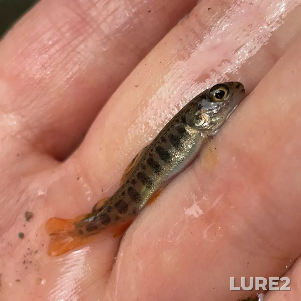
Fish in 1 of 1 report · Mostly Brook trout
- 1 with fish
Did not find what you were looking for, or something looks wrong? Tell us — we read every message.
Southwest Margaree River (Nova Scotia) — one of the area's fishing spots. About 25 km long. A smart bite calendar — moon phase, atmospheric pressure, and weather combined into an hourly fish-activity forecast for the coming days.
Wednesday, October 21
Work the cover — snags, weed edges, hole entrances; retrieve the lure with pauses.
Southwest Margaree River — Wednesday, October 21
The bite is moderate — fish feed in short bursts. Pressure is dropping — this usually boosts the bite. Peak 07:00–09:00 and 18:00–20:00.
The computed water temperature is around 10 °C — inside the 4–14 °C comfort range for Atlantic salmon, so baseline activity is high.
Atlantic salmon works the twilight: the peaks are pinned to sunrise and sunset — their times are in the sun-and-moon card above.
Pressure is dropping 1 hPa over the day — fish are usually more active ahead of a weather change.
One more input — the moon's feeding windows: within their hours the score sits higher than across the rest of the day. The window times are in the “Solunar feeding periods” card below.
October is an active season for Atlantic salmon here.
These are the same values the bite curve above was computed from. How the forecast works
Cloudy · feels like +7°
The day is 3 min shorter than yesterday.
Sunshine hours count direct sun only — cloud cover cuts it, so it is shorter than daylight.
Geomagnetic fieldG1 geomagnetic storm, Kp 4.7
Kp index — NOAA forecast. Not part of the bite score: catches show no link between geomagnetic storms and the bite.
The windows are set by the moon's transit and rise, and the forecast above already accounts for them: within these hours the bite score sits higher than across the rest of the day, while the day's overall level still comes from the catch-calibrated model.
What are solunar periods?Other nearby places to fish
Other nearby waters
The course meanders heavily: the current digs a pool on the outside of every bend and builds a bar on the inside. Those pools under the undercut bank are where largemouth bass typically sits.
Blue check: this species appears as a catch in reports for this waterbody.
Work the cover — snags, weed edges, hole entrances; retrieve the lure with pauses.
Southwest Margaree River — Wednesday, October 21
The bite is moderate — fish feed in short bursts. Pressure is dropping — this usually boosts the bite. Peak 07:00–09:00 and 18:00–20:00.
Nova Scotia: the months when each species peaks and when it goes quiet. The current month is outlined.
| Fish | January | February | March | April | May | June | July | August | September | October | November | December |
|---|---|---|---|---|---|---|---|---|---|---|---|---|
| Brook trout | slow | slow | slow | active | peak | peak | active | active | peak | peak | active | slow |
| Striped bass | slow | slow | fair | active | peak | peak | active | active | active | peak | active | fair |
| Atlantic salmon | slow | slow | fair | active | peak | peak | active | active | active | active | slow | slow |
| Rainbow trout | slow | slow | fair | active | peak | peak | active | active | active | active | slow | slow |
| Brown trout | slow | slow | slow | active | peak | peak | peak | active | active | fair | slow | slow |
| Rainbow smelt | peak | peak | peak | active | fair | slow | slow | slow | slow | fair | active | peak |
| Smallmouth bass | slow | slow | slow | fair | active | active | active | active | peak | peak | fair | slow |
| Yellow perch | slow | slow | slow | fair | active | active | active | active | peak | peak | fair | slow |
| Largemouth bass | slow | slow | slow | fair | peak | peak | peak | peak | active | fair | fair | slow |
Biting
Fish in 1 of 1 report · Mostly Brook trout
Anglers have logged 1 fishing report here. Most commonly caught: Brook trout. Peak season: July.
Measured river conditions are available for Southwest Margaree River: current gauge height, streamflow, and water temperature when reported by the source.
USGS gauge SOUTHWEST MARGAREE RIVER NEAR UPPER MARGAREE, 0.2 km away · measured 2026-10-21 03:20 · data source · provisional data, subject to revision