Catches
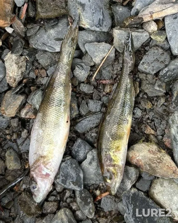
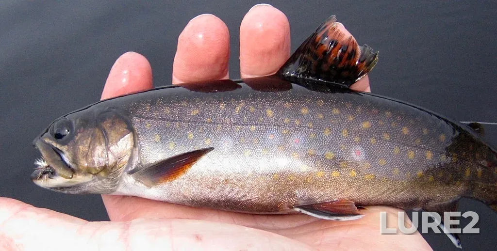
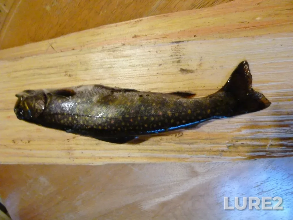
Recorded 3 catches here. Most commonly caught: Brook trout, Yellow perch. Peak season: April–October.
We use cookies for analytics and advertising. Cookies necessary for the site to function are always kept. Learn more
Mersey River (Nova Scotia) — a popular fishing spot. About 97 km long. Flows into Atlantic Ocean. A smart bite calendar — moon phase, atmospheric pressure, and weather combined into an hourly fish-activity forecast for the coming days.
Recorded 3 catches here. Most commonly caught: Brook trout, Yellow perch. Peak season: April–October.
Cloudy: 13–20 °C
The bite is strong — fish are active. Pressure is rising — activity tends to be more subdued.
Best time — 06:00–08:00 (dawn bite) and 19:00–21:00 (dusk bite).
Work the cover — snags, weed edges, hole entrances; retrieve the lure with pauses.
The water's turning murky — go with bright, noisy lures: salmon spoon or salmon fly.
Pack transitional-season clothing — mornings and evenings are chilly. Rain is expected — don't forget a rain jacket or a waterproof shell.
Worth going — it's a productive day.
The computed water temperature is around 16 °C — warmer than the 4–14 °C comfort range for Atlantic salmon: in the heat it drops deeper and feeds less often.
Atlantic salmon works the twilight: the peaks are pinned to sunrise and sunset — their times are in the sun-and-moon card above.
Pressure is flat: it moves no more than 1 hPa over the day, so the weather isn't shifting today's bite.
One more input — the moon's feeding windows: within their hours the score sits higher than across the rest of the day. The window times are in the “Solunar feeding periods” card below.
September is an active season for Atlantic salmon here.
These are the same values the bite curve above was computed from. How the forecast works
Cloudy · feels like +18°
The day is 3 min shorter than yesterday.
Sunshine hours count direct sun only — cloud cover cuts it, so it is shorter than daylight.
The windows are set by the moon's transit and rise, and the forecast above already accounts for them: within these hours the bite score sits higher than across the rest of the day, while the day's overall level still comes from the catch-calibrated model.
What are solunar periods?Measured river conditions are available for Mersey River: current gauge height, streamflow, and water temperature when reported by the source.
USGS gauge MERSEY RIVER BELOW MILL FALLS, 3 km away · measured 2026-09-02 14:50 · data source · provisional data, subject to revision