Fishing reports
2 reportsSummary of all reports
Biting
Fish in 2 of 2 reports · Mostly Flounder
- 2 with fish
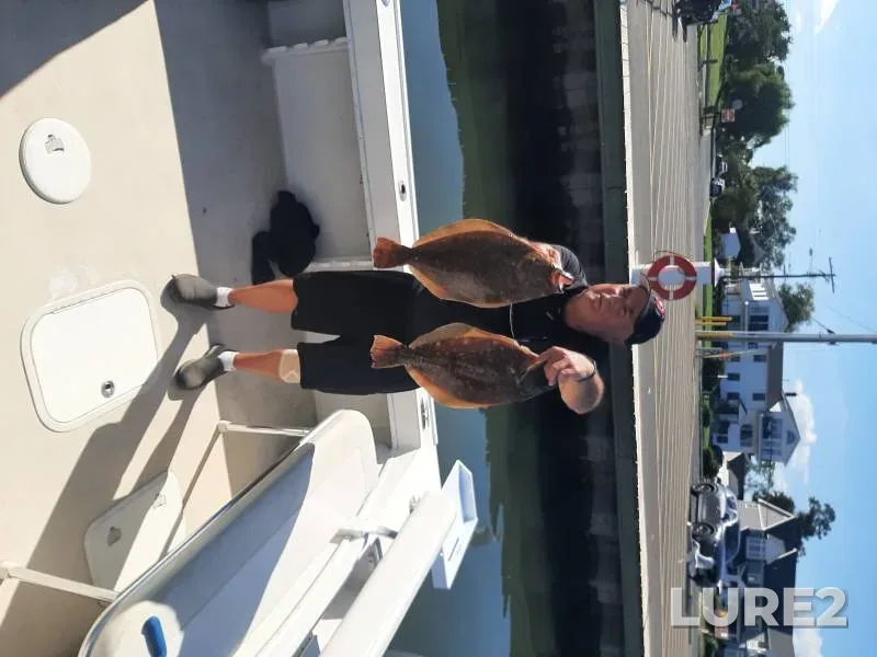
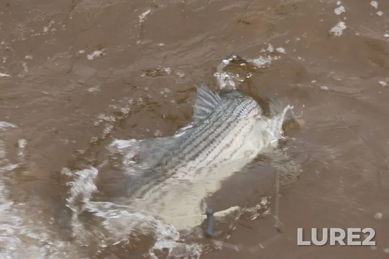
Anglers have logged 2 fishing reports here. Most commonly caught: Flounder, Striped bass. Peak season: April–June.
Did not find what you were looking for, or something looks wrong? Tell us — we read every message.
Lower New York Bay (New York) — a spot well known among anglers. About 296.3 km² in area. Nearest town — New York. A coastal water: the bite here is modelled for the sea, not for a river or a lake. See when the bite is best: hourly fish activity for the days ahead, computed from the weather, pressure, and season.
Nearest towns and cities
The shoreline is moderately indented: bays and points alternate with even stretches. The islands add structure: drop-offs around their perimeter and channels between them and the bank. The largest water around: all 11 neighbours are smaller.
The longest fetch is 18 mi along the north-east — south-west axis: wind along it builds a wave on the open water and pushes silt and food towards the lee bank.
Other nearby places to fish
Other nearby waters
New York: the months when each species peaks and when it goes quiet. The current month is outlined.
| Fish | January | February | March | April | May | June | July | August | September | October | November | December |
|---|---|---|---|---|---|---|---|---|---|---|---|---|
| Steelhead | peak | peak | active | fair | fair | active | peak | peak | peak | peak | peak | peak |
| Striped bass | slow | slow | fair | peak | peak | active | active | active | peak | peak | active | slow |
| Flounder | slow | slow | slow | active | peak | active | active | peak | peak | peak | fair | slow |
| Bluefish | slow | slow | slow | fair | active | active | active | peak | peak | active | fair | slow |
| Coho salmon | slow | slow | slow | slow | fair | active | peak | peak | peak | active | slow | slow |
| Chinook salmon | slow | slow | slow | fair | peak | peak | peak | active | fair | slow | slow | slow |
Wednesday, October 21
Look for structure — reefs, flats, channel edges; work them slowly near the bottom.
Lower New York Bay — Wednesday, October 21
The bite is moderate — fish feed in short bursts. Pressure is dropping — this usually boosts the bite. Peak 07:00–09:00 and 18:00–20:00.
The computed water temperature is around 49 °F — colder than the 57–75 °F comfort range for Bluefish: the fish conserves energy and takes more cautiously.
Bluefish works the twilight: the peaks are pinned to sunrise and sunset — their times are in the sun-and-moon card above.
Pressure is dropping 0.09 inHg over the day — fish are usually more active ahead of a weather change.
One more input — the moon's feeding windows: within their hours the score sits higher than across the rest of the day. The window times are in the “Solunar feeding periods” card below.
October is an active season for Bluefish here.
These are the same values the bite curve above was computed from. How the forecast works
| 00:00 | 01:00 | 02:00 | 03:00 | 04:00 | 05:00 | 06:00 | 07:00 | 08:00 | 09:00 | 10:00 | 11:00 | 12:00 | 13:00 | 14:00 | 15:00 | 16:00 | 17:00 | 18:00 | 19:00 | 20:00 | 21:00 | 22:00 | 23:00 |
|---|---|---|---|---|---|---|---|---|---|---|---|---|---|---|---|---|---|---|---|---|---|---|---|
| -1.2 ft | -0.4 ft | 0.4 ft | 0.9 ft | 0.8 ft | 0.4 ft | -0.1 ft | -0.7 ft | -1.2 ft | -1.8 ft | -1.9 ft | -1.4 ft | -0.7 ft | 0.2 ft | 1.0 ft | 1.6 ft | 1.8 ft | 1.4 ft | 0.8 ft | 0.0 ft | -0.8 ft | -1.6 ft | -2.0 ft | -1.8 ft |
Open-Meteo tide model, grid point 5.3 mi away
Open-Meteo Marine model, grid cell 5.3 mi from the waterbody. Values are daily means.
Clear · feels like +42°
The day is 3 min shorter than yesterday.
Sunshine hours count direct sun only — cloud cover cuts it, so it is shorter than daylight.
Geomagnetic fieldG1 geomagnetic storm, Kp 4.7
Kp index — NOAA forecast. Not part of the bite score: catches show no link between geomagnetic storms and the bite.
The windows are set by the moon's transit and rise, and the forecast above already accounts for them: within these hours the bite score sits higher than across the rest of the day, while the day's overall level still comes from the catch-calibrated model.
What are solunar periods?Blue check: this species appears as a catch in reports for this waterbody.
Look for structure — reefs, flats, channel edges; work them slowly near the bottom.
Lower New York Bay — Wednesday, October 21
The bite is moderate — fish feed in short bursts. Pressure is dropping — this usually boosts the bite. Peak 07:00–09:00 and 18:00–20:00.
Biting
Fish in 2 of 2 reports · Mostly Flounder
Anglers have logged 2 fishing reports here. Most commonly caught: Flounder, Striped bass. Peak season: April–June.